Here's How To See Where The ISS Is Right Now
The International Space Station (ISS) is a large modular spacecraft traveling in low Earth orbit. It started as a space program called "Freedom" during Ronald Regan's time as President of the United States, but in 1993 merged into a joint multinational endeavor between the U.S. and Russia. The project quickly added help from the European Space Agency (ESA) and Japan, thus becoming a true "international" space station. The ISS started as a single module called "Zarya" launched into space by the Russians on November 20, 1998, followed a few weeks later by a U.S. module called "Unity."
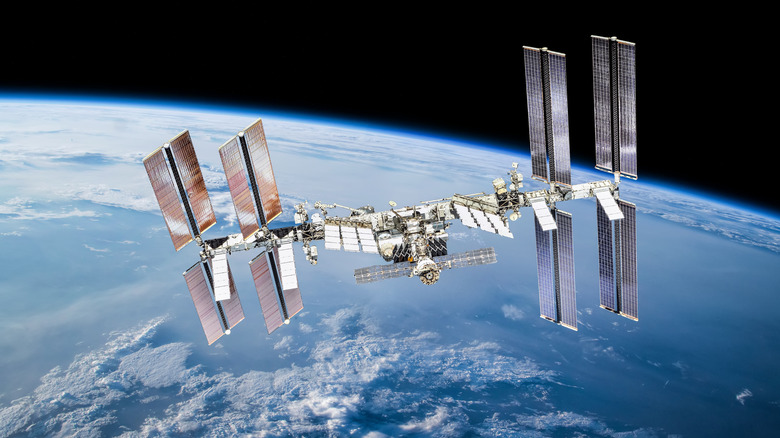
It took approximately two years before it was deemed suitable for people to live in, with the first crew members boarding on November 2, 2000. Construction was officially "completed" in 2011. Today, the ISS has an inside volume equal to a large "5-bedroom home or two Boeing 747 jetliners" and can house six crew members. The station tips the scales at almost a million pounds (on Earth), and one side of the solar arrays to the other spans an entire football field. So, it's big enough to see with the naked eye when it's dark.
The ISS orbits the Earth at an average altitude of some 250 miles above sea level. With a cruising speed of 17,500 mph, it's zipping around the planet every 90 minutes. The best way to see where the ISS is right now is by using one of the following simple, easy-to-use websites.
Tracking the location of the ISS
The "Live Space Station Tracking Map" on NASA's website is your first option. It has a solitary flight path map showing the exact location of the ISS as it travels across the planet in real-time. It also shows where the station was located 90 minutes in the past and where it is expected to be 90 minutes into the future. The map even has dark overlays that indicate where it's night in other parts of the world. Real-time telemetry data provided by the European Space Agency includes the ISS' latitude, longitude, altitude, and speed in either metric or imperial units of measure.
A second option is the ISS Astro Viewer. Created by Dirk Matussek, this one is interesting because it provides the same real-time ground tracking imagery and telemetry data as the NASA site, plus it shows you what the astronauts are seeing as they look down on Earth. If you're interested in the Chinese Space Station Tiangong, you can see similar data for that station.
The third option you have in tracking the station is a tool called ISS Position, created by a private group of developers who love space. It's the simplest of the sites providing just a single real-time image of the ISS as it moves across a global map. It can also track the Hubble Telescope, Vanguard 1 (the oldest satellite still in orbit), the NOAA weather satellite, and the Landsat 7 world imagery satellite.
With plans to decommission the ISS and replace it with a shinier model, time is running out to track its movement. As the plan at present is to send the ISS into a controlled deorbit in 2031, now's as good a time as any!