This week, Louisiana caught a fortunate break from Tropical Storm Marco, which rapidly lost steam before its a projected landfall. But the state’s luck doesn’t look like it will last, because Hurricane Laura is on the way.
Laura brought heavy rain and flash floods to Jamaica, the Cayman Islands and parts of Cuba, and then to the Dominican Republic and Haiti as a tropical storm. But it strengthened into a hurricane early Tuesday morning with winds of 75 mph. As it moves up through the warm waters of the Gulf of Mexico, though, the storm us forecast to become a major Category 3 hurricane late Wednesday or early Thursday right prior to U.S. landfall. That would make Laura the first major hurricane in what has already been a wild and record-setting Atlantic hurricane season.
In the coming days, heavy rains could fall from Port Bolivar, Texas to Morgan City, Louisiana, according to the National Hurricane Center (NHC). Up to 8 inches of rain could fall across a wide area, with pockets of more than a foot of rain possible in some parts of Louisiana. Even more distressing, though, is the risk of “life-threatening storm surge” from San Luis Pass on the Texas shore, all the way to Ocean Springs on the coast of Mississippi. Up to 13 feet of water could come rushing ashore near the Texas-Louisiana border. Winds could also crank to 115 mph as Laura makes landfall, wreaking further havoc.
“It has become a very serious situation with a landfall likely,” Ben Schott, meteorologist in charge with the National Weather Service’s New Orleans office, wrote in an email. “Wind in excess of 100 miles [per hour] maybe seen well inland and do significant damage, as well as heavy rainfall and associated flooding.”
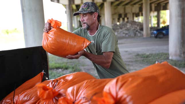
Nine counties in Texas and Louisiana, including major jurisdictions, have issued mandatory evacuations and are setting up emergency storm shelters. All told, more than 385,000 people in Texas alone are being asked to get out of the way of a dangerous storm. But amid the covid-19 pandemic, these response plans could create crises in their own right.
Some areas that could be hit by the storm are still reeling from hurricane season in years past as well. On Tuesday morning, the NHC expanded its hurricane watches to include parts of Texas’ Harris County, including Houston. Just three years ago, Hurricane Harvey flooded over 96,000 homes in Houston, and many are still struggling to rebuild.
This year’s extreme hurricane season has lived up to forecasts and then some, with a record pace for storms and bizarre storm tracks. A recent update to the forecast as we entered the heart of hurricane season showed things were likely going to get even worse due to the growing odds of La Niña, a natural weather pattern in the Pacific that can create wind patterns ripe for Atlantic hurricanes to form.
Laura is thriving in the abnormally warm waters of the Gulf of Mexico. Rising ocean heat is one of the most consequential impacts of the climate crisis. Ass the climate warms, hurricanes themselves are becoming more and more severe, too. Sea level rise is another huge impact because it allows storm surge to push further inland and cause more destruction. According to the National Oceanic and Atmospheric Administration, storm surges that occur today are eight inches higher than they would have been in 1900.