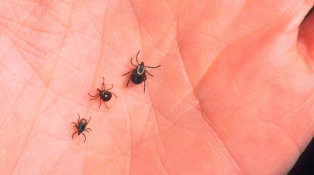
Here are some terrifying images of the growing tick threat in North America, courtesy of NASA satellite data. The images accompany recent research showing that warmer climates over the past two decades have allowed Lyme disease-carrying deer ticks to survive and spread farther into Canada and parts of the Northern U.S.

In February, researchers led by Serge Olivier Kotchi of the Public Health Agency of Canada published their study in the journal Remote Sensing. They created a model to map the spread of Ixodes scapularis, the black-legged deer tick and primary vector of Lyme disease, across central and eastern Canada between the years 2000 and 2015. This modeling relied on meteorological data collected by satellites from NASA and others, which measure the surface temperature of the area and how often it was covered by woodland vegetation throughout the year. It was further adjusted using past field research tracking tick populations in Canada over time.
As other research has shown, warmer days (days over 32 degrees Fahrenheit) have become more frequent in Canada over time. And these warmer periods have allowed ticks that might have otherwise died in the colder peaks of the year to survive into the next season. Because of that, the environmental risk of coming across these ticks has steadily increased in these areas, particularly in the southern half of Ontario and Quebec.
“Ixodes scapularis continues its geographic range expansion into south central and southeastern Canada. This is accompanied by continued increases [in the] incidence of human Lyme disease cases,” the authors wrote. “Climate change, with increasing temperatures, is thought to be facilitating this range expansion.”

Though the study’s main findings concern Canada’s Lyme risk, the same trends are happening nearby in the U.S. An article out today from NASA’s Earth Observatory discussing Kotchi’s study illustrated the change in tick risk across the Central and Northeastern parts of the U.S. during the same years.
Other data, including from the Centers for Disease Control and Prevention, has shown that Lyme disease and other illnesses spread by ticks and insects have been on the rise in the U.S generally. And while Lyme was first discovered and is still most frequently diagnosed in the U.S. Northeast, cases are starting to become more common elsewhere. Earlier this year, a study found that the bacteria that cause Lyme even thrive in the vegetation near Northern California’s beaches.